
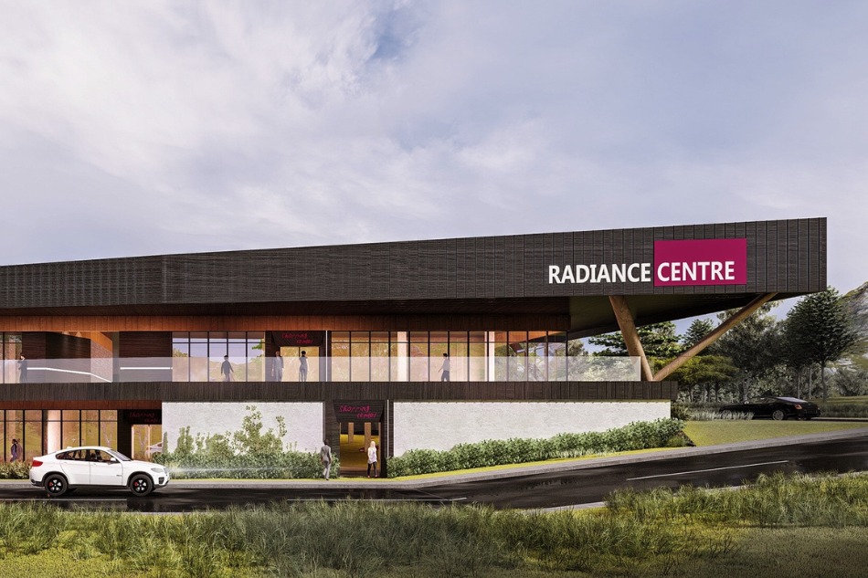
Surveying expertise for development, construction, and property decisions across New Zealand.
ACE Surveyor is a director-led surveying practice based in Auckland, supporting homeowners, architects, builders, and developers across New Zealand.
Get in touch
021 198 7679
1A/25 Airborne Road, Rosedale, Auckland 0632
info@acesurveyor.com
Service Overview
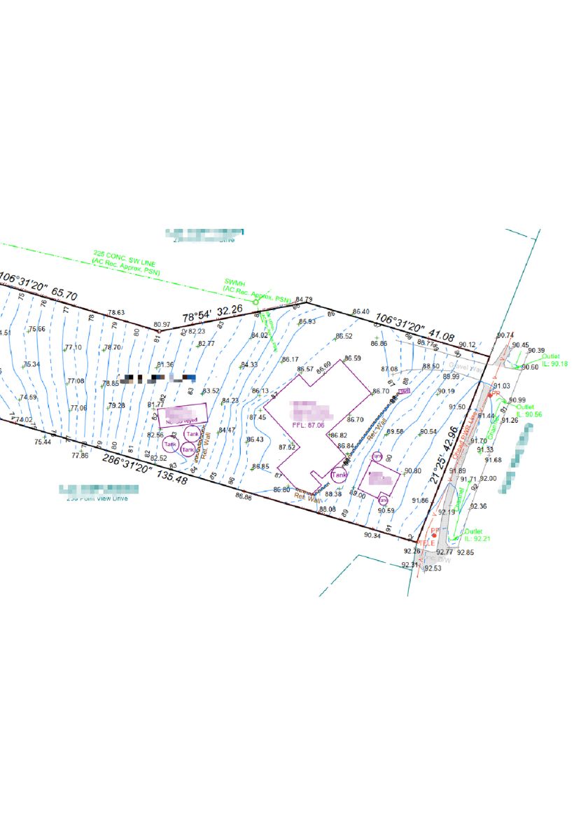
Topographic and detail surveys showing existing ground levels, features, and improvements for resource consent, building consent, and design purposes.
Service Benefits
- Accurate base data for architects, engineers, and planners
- Supports resource consent and building consent submissions with current site levels
- Improves drainage and grading design decisions
- Reduces redesigns and approval delays
- Outputs aligned to consultant CAD standards
How we work
We confirm the scope, establish site control, and capture levels and features. Data is processed into clear CAD and PDF outputs aligned to your design and approval requirements.
Typical Deliverables
Contour plan with spot levels and grid points
Surveyed location of structures, vegetation, and services
CAD (DWG) and PDF files ready for design use
Survey control points for future setout
FAQs
Most councils require a current survey to confirm levels, features, and existing conditions for approval.
We capture visible services on site. Underground locating can be arranged as a separate specialist service if required.
Timeframes depend on site size and access. We confirm the schedule when booking your survey.